top of page
Property Mapping
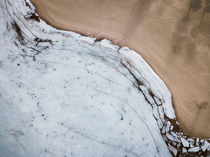
Unlock the potential of your property with our advanced drone services. We specialize creating detailed 2D and 3D models, along with thermal mapping that highlights variations in ground temperature and moisture levels. This invaluable information and is perfect for farmers looking to optimize their productivity, while also providing hunters with up-to-date maps of their property for enhanced navigation and planning. Let us help you visualize your land like never before!
Mapping Services


bottom of page